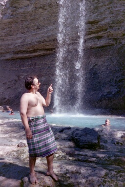
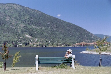
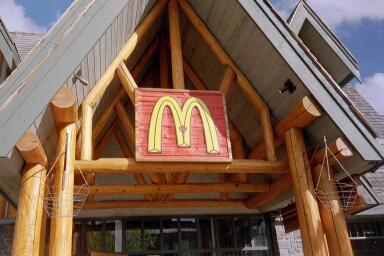
Vancouver
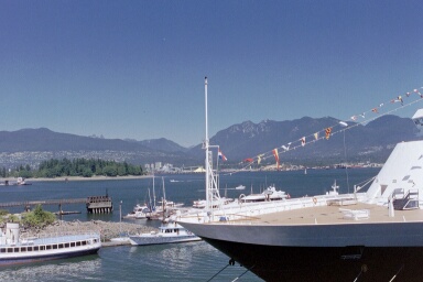
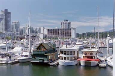
Vancouver Harbour. The second photo is of cute little house boats.
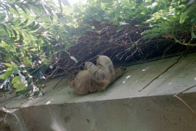
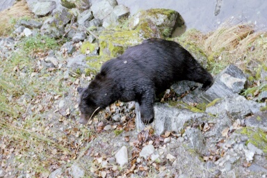
A sloth, just hanging about!
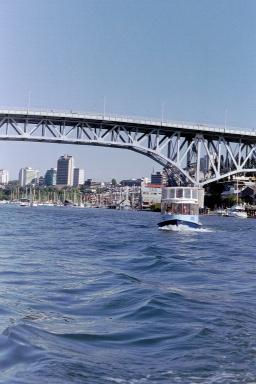
Our trip across False Creek in Vancouver. These little tub boats are madness!
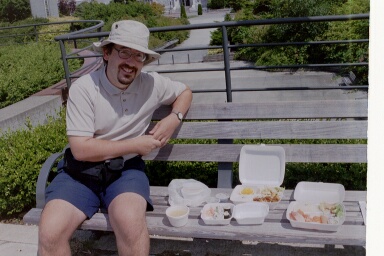
Mike's birthday lunch of Sushi in the university grounds.
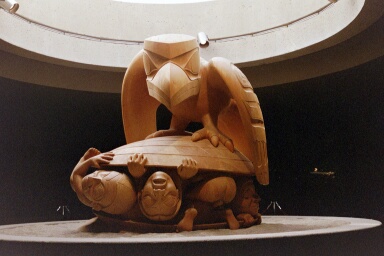
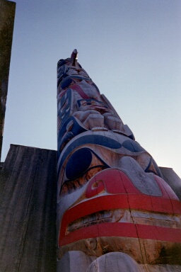
Museum of Anthropology - Vancouver. The notes in my journal about the exhibit in the first photo say;
The exhibit they are most proud of is the "Ravens and First Men" by Bill Someone based on an original peoples poem.
The second photo is a totem pole.
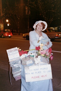
Duck lady ("you can pat my duck for a couple of loonies"...) There were a couple of duck ladies of Granville Street (where we stayed) but this was the nicest duck lady! Actually, the duck (who is not just any old duck - but is an actress) told me my fortune ("beware of a falsehood"!?)
Oh, yes, it'll help if you know that Canadians call their dollar coins `loonies'. This is because they have a duck on their dollar coins, and ducks are known as loons - obvious really. However, the first time someone asked me for a couple of loonies, my inclination was to point to the aforementioned duck ladies, and say "but you've already got more than enough!"
Mike's mate Dave holding a photo of himself being 'suspended' by piercings in his back and shoulders from the ceiling of a local church hall.
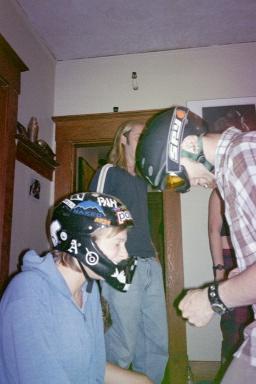
Dave and his girlfriend Liz, testing the effectiveness of their respective crash helmets by banging their heads together...
Vancouver Island
We decided to push the boat out (or should that be plane!) to get to Vancouver Island and took a float plane flight. This made us feel as though we were extras in `Northern Exposure', where they use float planes to go everywhere!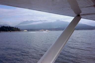
View from our float plane window.
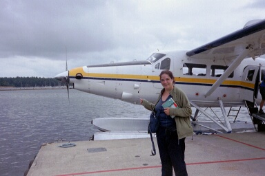
Jane with float plane. This is an ironical photo - we also have a dozen other photos taken before take off of every other float plane in the harbour - every time I saw another float plane, I convinced myself that this would be our plane!
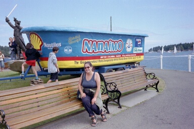
Nanaimo
Nanaimo is a small town on the east coast of Vancouver Island. We really only went there because it was the cheapest flight from Vancouver to Vancouver Island. Imagine our delight at the discovery that the "international" bathtub races were taking place in Nanaimo this weekend! I put international in quotes because the competitor who had travelled the furthest had come from Ottawa - which strictly speaking is the same country (although I believe they speak some other language there!)Sadly we missed the start - we were fortifying ourselves with BC Benny's (eggs benedict with salmon instead of ham) but we made great efforts to get to the end.
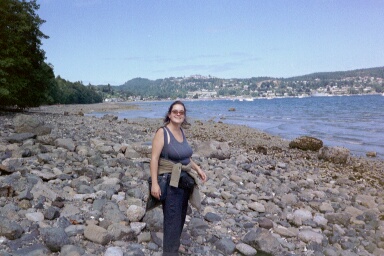
This is Jane walking along the rocky shoreline of Desperation Bay (OK - Departure Bay) trying to find the place where the bathtubs would return. A lady in a gift shop in central Nanaimo had given us directions to the end - when we'd asked her "can we walk there?" she had answered "yes, you can walk" although in retrospect, she probably said " yes, you can walk, but..." It was bloody miles!
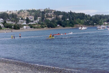
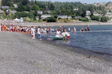
These are shots of the finish. When the bathtubs reach the shore, the driver has to jump out, run up the beach and ring a bell. This sounds simple - but bear in mind that these people have been kneeling in a bathtub for 2-3 hours. As the lady in the gift shop told us - "they can't walk, so they're all flopping around like liddle seals." (One bloke just could not stand up - and consequently nearly drowned in the shallows!) We were within hearing distance of the winner ringing the bell - although, at the time we thought we'd missed the lot!
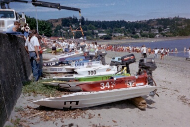
Once the bathtubs were on the beach, they were hauled up to the sea wall (presumeably for scrutineering - they take it all very seriously!) From this photos, you can see that they really are just bathtubs - with quite fancy fairings.
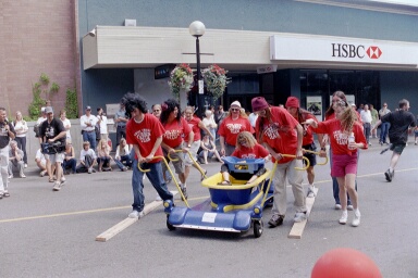
Madness on the streets of Nanaimo.
West Coast Trail
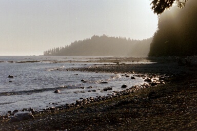
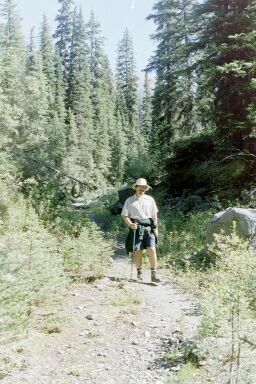
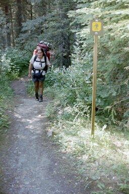
The West Coast Trail follows the route of an old telegraph line. This was installed in the late 19th Century to help save people who were washed ashore following shipwrecks. This was a particularly nasty stretch of coastline for shipwrecks.The walk is 77km along a rocky coastline. We spent six days walking - some people do the walk more quickly, others take 2-3 days longer.
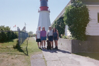
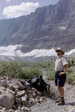
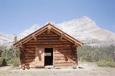
This is the Pachena Lighthouse. The second photo shows the lighthouse keeper and his deputy (who also - conveniently - turns out to be his girlfriend!) They've only been at this lighthouse for two weeks, so talking to tourists is still fun for them. (I'm not too surprised - they've just been relocated from some bleak lighthouse off the coast of Nova Scotia - I'd talk to anyone if I was in that position!)
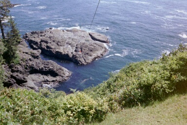
While we were hanging around at the lighthouse, a couple of Grey Whales were hanging around in the shallows under the cliff. Mike and I were very excited by this - sadly the photos are not as great as the real thing was!
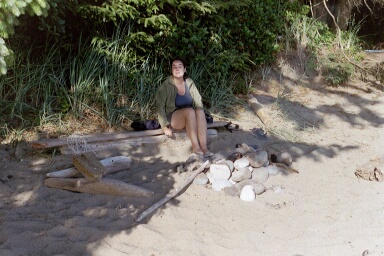
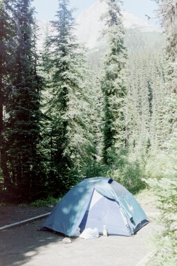
Our first campground at Darling River. Camping on the beach was idyllic, but never more so than here. We had only two other sets of neighbours, and each group was more than 50 feet from us. Also, we'd had a really easy day of walking, and the weather was lovely. This picture shows our first campfire.
A stunning sunset from our first campsite.
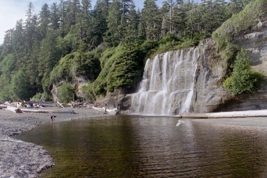
Tsusiat falls
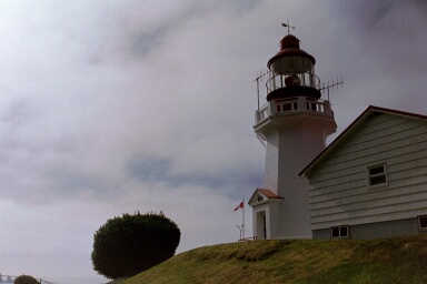
Carmanah Lighthouse. As we walked away from the lighthouse (with it still in full view behind me), I was amused by a young girl, wearing flip-flops trailing a labrador.
"Where's the Lighthouse?" she demanded.
Mike and I stood in stunned silence in front of the 100-foot-tall white building with a flashing light on top. I considered responding "Yes, it does rather", but she didn't seem to be in the mood for clever puns on words. Instead, I merely pointed to the large white building behind me.
"Oh" she muttered sheepishly.
She was followed by an older lady (her mother?) who was wearing stillettos, leopard print leggings and a strappy top. I have no idea where they had come from - this lighthouse is a solid three days walking from anywhere. Very curious.
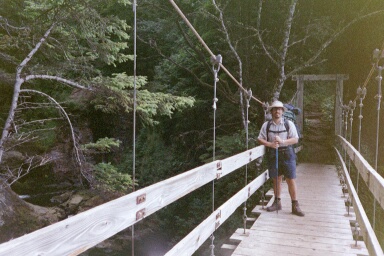
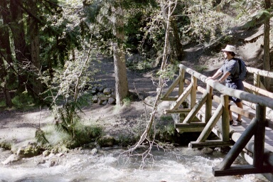
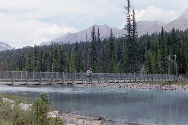
I have an obsession with bridges - I see Mike standing on a bridge, and I always have to take a photo - so, this is Mike on a bridge!
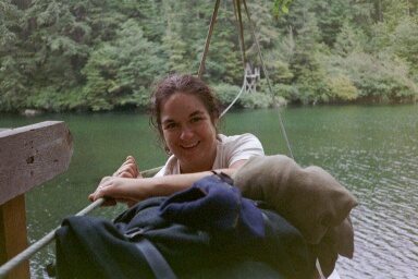
This is a cable car which we used to cross a big wide river. The "car" element of the contraption was barely large enough for me, Mike and our two big rucksacks. The "cable" part was what we had to pull on to pull ourselves across the river. Even now, I have nightmares of getting stuck in the middle!
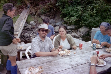
Jane and Mike eating wonderful freshly caught and cooked crab at Niniat river crossing.
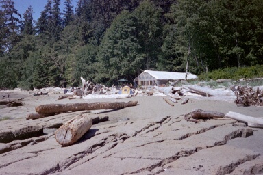
This is Chez Monique, incongruously located on one of the more remote beaches. Monique is French-Canadian, but her husband, Jim, is of First Nation origin, which is presumably how she gets away with running a burger bar in the middle of one of Canada's most protected areas of natural wilderness. Cracking burgers though! (And very busy - it appears that none of our fellow walkers have any conscience problems with supporting her business.)
This picture was taken on the final day of the walk. I'd had no breakfast, I'd been walking for six hours without a rest, it was supposed to only be a 7km jaunt out to the comfort of a nice shower and chocolate, and I was crying! Naturally all the same fates had befallen Mike, and he had to contend with me moaning, but his response was to take a bloody photo and moan at me when I wouldn't smile!
The end of the walk! Hurrah! We are standing under the buoy (pronounced buwey by Canadians) which we'd tugged on to call our ferryman who would arrive and take us to freedom! (Or at least chocolate).
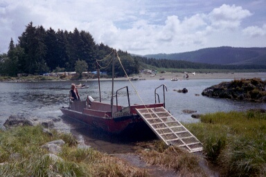
Waiting for the ferry. Now that we'd stopped walking, I could take in the beauty of this place. The ferry was quite rickety, and I was a little bit scared getting on and off - but I had that overriding expectation of chocolate to come!
On The Road from Vancouver to the Rockies
Fairmont Hot Springs
Just underneath the official hot springs (which we've learned means swimming pool in Canada) there is this pool fed with the outflow from the swimming pool above. (Certainly the water was very chloriney). We swam in here for a while before retiring to the true pool at the top of the hill.
Hope
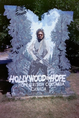
Hope has two claims to fame. One is the local chainsaw carver, the other is that it was the town that Sylvester Stallone blew up in the film, "Rambo - First Blood". The town markets both of these money pullers very strongly!
Nelson
Mike by the lake
Kooteney National Park
Radium Hot Springs
Another photo of Mike on a bridge.
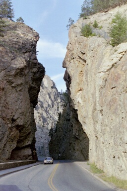
A deep canyon created by a river, but now home to the main road through the park.
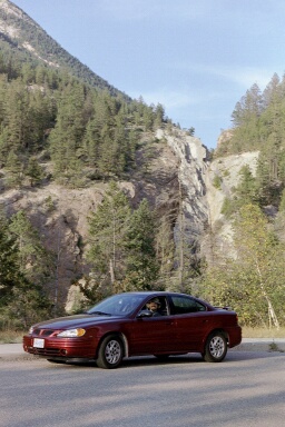
Mike grinning from our hire car.
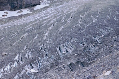
A nice turquoise coloured river in Kooteney National Park. The colour is caused by 'rockflour'. This is the fine particles of rock which are eroded by glaciers, and then when the glacier melts, the rockflour is carried downstream.
Note - Mike on a bridge!
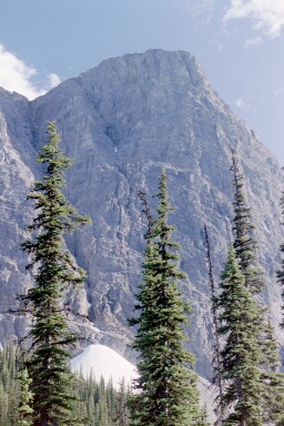
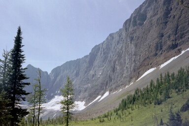
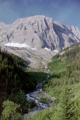
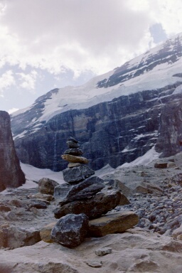
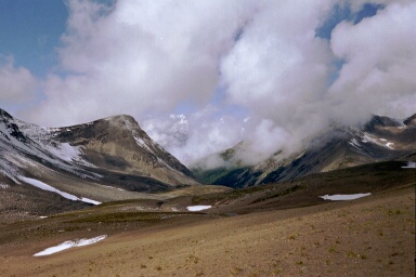
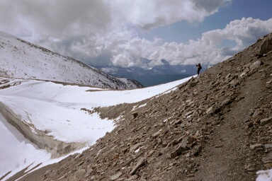
The Rockwall
We did a five day walk along the bottom of the Rockwall in Kooteney National Park. It was stunningly beautiful, so we took hundreds of photos - these are the best of them.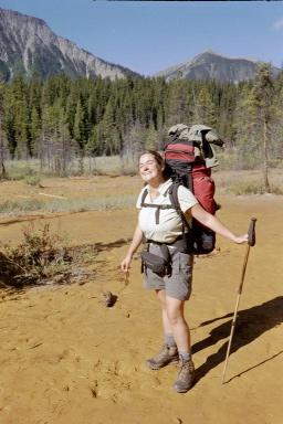
She's elegance and grace in walking boots. This is the beginning of our first walk in the Rockies - the Rockwall. This is Jane playing in the mud - actually the first of the Ochre Pots.
The local 'first nation' people used to 'mine' ochre from this area, but once the area was designated a national park, the mining was stopped - because it conflicted with the aims of the national park (namely 'wilderness')
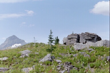
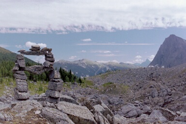
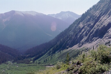
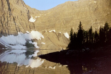
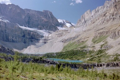
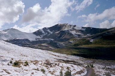
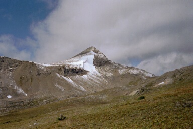
A spectacular view as we approached the end of the first days walking - these are the first views we had of the rockwall. It was not far from here that we saw our first bear - a baby bear in a tree!
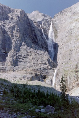
Helmet Falls.
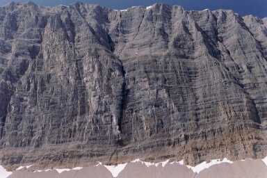
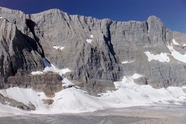
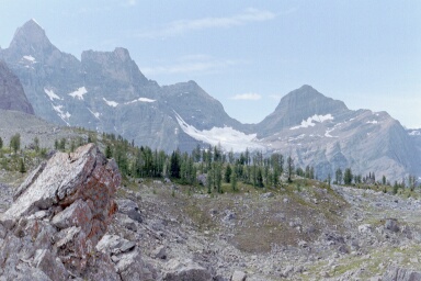
The Rockwall.
Our first close encounter with Hoary Arsed Marmots!
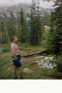
Mike enjoying the sunshine, wandering back from Helmet Falls in the morning of our rest day.
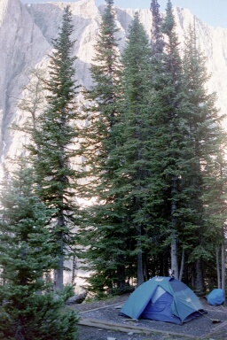
Our little tent in the sunshine.
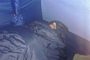
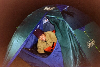
An unconscious walker found in our tent.
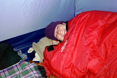
A happy camper.
General shots of Goodsir Pass day walk. Despite this being classic bear country, the most exciting wildlife we saw were ground squirrels!
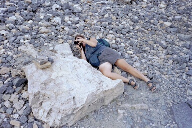
Mike enjoying a pleasant rest amongst glacier debris. What you can't see are the deerflies buzzing us incessantly!
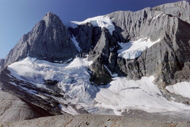
Tumbling Glacier, which feeds Tumbling Creek, which we camped beside.
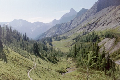
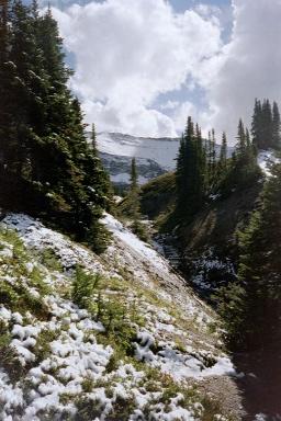
Our path stretching out in front of us.
The steep descent into Numa Valley - this was followed by an equally steep climb back out the other side, up to Floe Lake
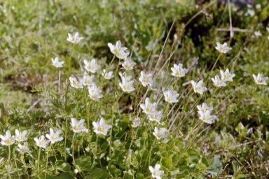
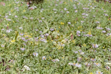
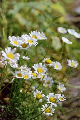
Wild Flowers.
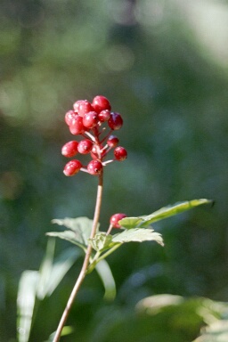
Just one of the vast array of berries available - although we can safely assume they are all poisonous. These berries are nicknamed `paedophile berries' by Mike because they are temptingly brightly coloured and just at the right height for very small children to reach.
Jane balancing on a log! It's really close to here that I found some drinking water. The water from the Tumbling creek was undrinkable as it was full of rockflour. Rockflour is the minute particles of rock ground down by glaciers. It's these particles which give glacial lakes their turquoise colour. Very pretty but not very drinkable.
I wandered off on a quest, and after walking for ten minutes, I found a tiny stream running parallel to Tumbling Creek - clever Jane!
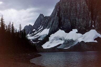
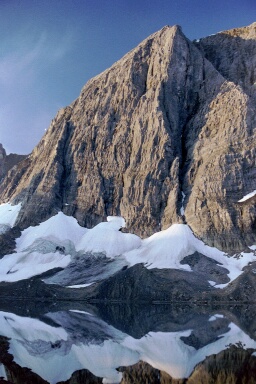
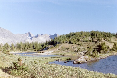
Floe Lake.
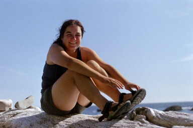
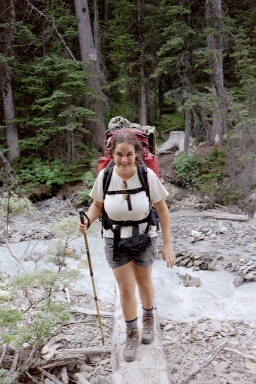
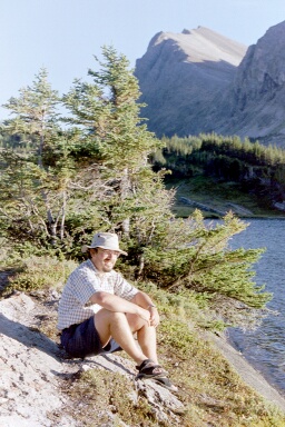
Jane finishing the Rockwall walk!!!
Banff National Park
Lake Louise
David Bailey taking a photo, and the photo! It's not that great really!
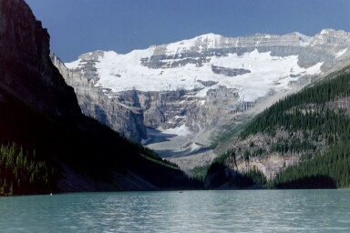
Lake Louise.
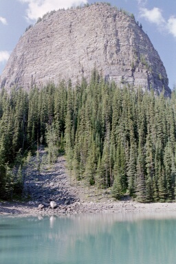
The Little Beehive from either Lake Agnes or from Mirror Lake.
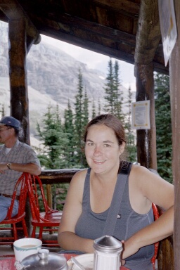
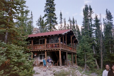
A photo of me having a nice cup of tea and a slice of cake and another of the Inn of the Six Glaciers.
One of the six glaciers.
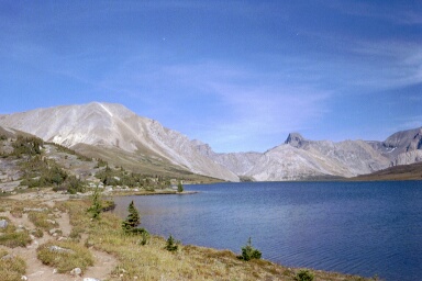
Skoki Lakes
Baker Lake, and Mike shortly after falling into the aforementioned lake!
Skoki Lakes - they do look breathtaking - and originally we were planning to camp one night at Skoki Lakes. However, this was the 'walk of the incessant mosquitos' so we walked out a day earlier than planned. This is the closest we got to these lakes.
Yet again we had cloudless skies, meaning that the alpine lodge was of interest rather than being a needed shelter.
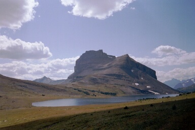
Ptarmigan Lake. It was only on our return trip past the lake that we met the eponymous ptarmigans.
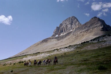
As we walked round the lake, we met this group; pack-horses and rifles made them look very competent, so we paid careful attention to their warnings about the (bear) sow and cubs they had passed twenty minutes back. After two hours of throwing rocks at likely looking bushes, I admitted defeat. There are no bears in Canada.
Alberta
Drumheller
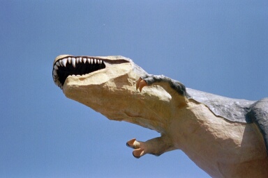
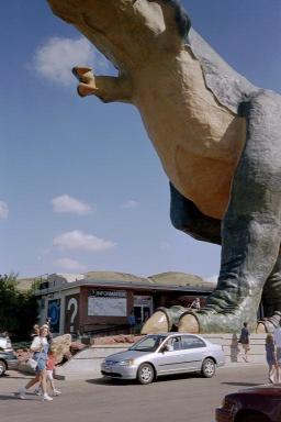
It's the largest dinosaur in the world, built by the Drumheller Chamber of Commerce to celebrate the Millenium. If you can stand American children, you can go up to its head and look out through its mouth. We can't. Instead we amused ourselves by taking photos of passing cars being stomped by the monster's foot.

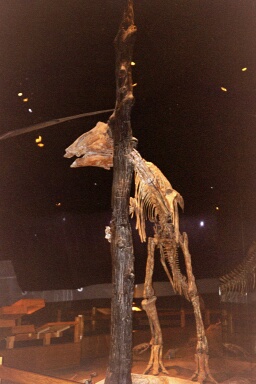
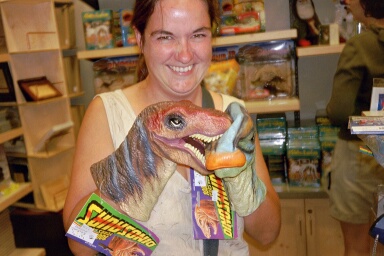
They have this dinosaur fixation because the local badlands are a rich source of fossils, and the collection of the Royal Tyrrell Museum draws visitors hundreds of kilometres into this desolate country, where they spend hundreds of dollars on dinosaur hats, cupholders, dildos, etc...
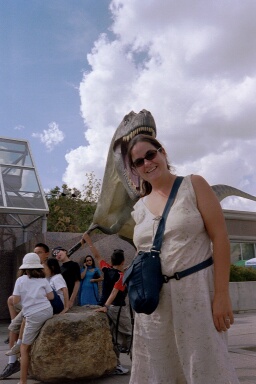
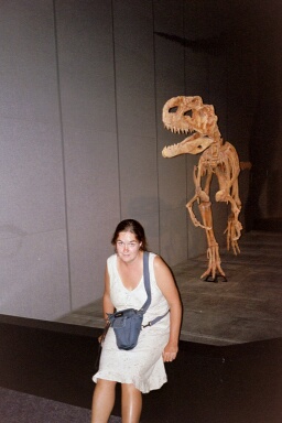
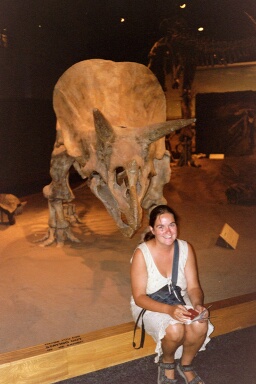
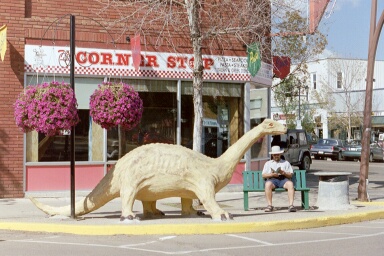
Jane being threatened with extinction by many large dinosaurs. Somehow Mike always frames these photos so that it looks as though my head is in the dinosaurs mouth, or as though I'm about to be mauled. Perhaps its a strange fantasy of his?
 "Why dinosaurs became extinct"
Mike and I thought that this particular exhibit was bloody hilarious - a dinosaur trying to hide behind a tree. Sadly, we've tested the joke out on our friends and family, and they just smile at us sympathetically. Perhaps we've spent too long alone together!
What can I say!
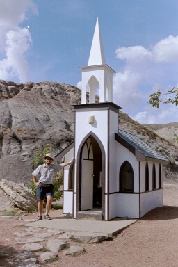
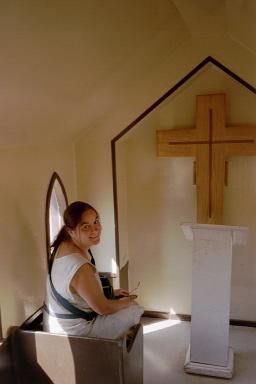
Mike Says; "While Mike was captivated by the massive dinosaur skeletons fossilised 30 million years ago, Jane was captivated by the small wooden church built twenty years ago."
Jane says; "The smallest church in (delete as applicable) Drumheller/Alberta/Canada/The World!"
Alberta Badlands
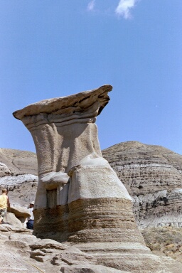
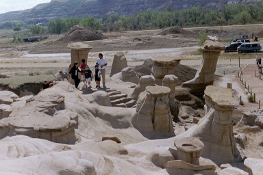
Pictures of the Hoodoos - these strange pillars of rock are formed when hard rock forms a cap over softer rock. The softer rock gets eroded by rain, but the harder rock protects the pillar.
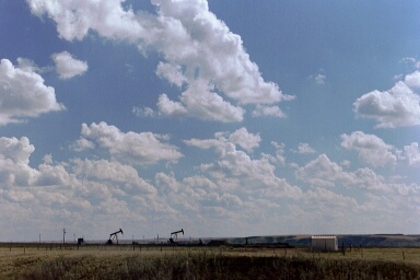
The very flat landscape just outside the valley.
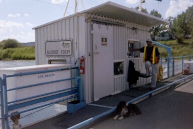
While Louis Bleriot was astounding the world by flying across the Channel, his brother was astounding Alberta by running a ferry across a river. This is one of about eight ferries still running in this area.
Skyline Walk
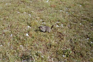
As we crossed through this meadow, we soon realised that we were not alone! There were hundreds of Hoary (Arsed) Marmots snuffling about in the long grass. They would let us get quite close, before letting off a triumphant 'eeek' and popping down a nearby burrow.
Spectacular views of the 'Little Shovel' Pass and the Snowbowl (which we camped under).
Mike strutting his funky stuff just outside the tent. This was shortly before he pee'd "JANE" into the fresh snow. Oh, how romantic!
Me tucked up in our cosy little tent.
Some very impressive scenery.
The snow at the top of the Notch. You can see me struggling across the shale and snow on the ridge, just to give Mike a photo opportunity. What a hero!
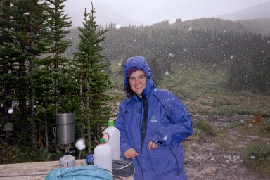
Cooking in the snow!
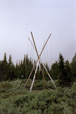
A bear pole - designed to stop bears finding your food - this one has the added advantage of looking like a large white 'X marks the spot' on the hillside. This would be comforting for people walking in the opposite direction to us, as they'd be able to spot the campsite from miles off.
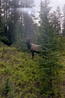
As we walked along the road looking for a means to get back to our car, we passed by this magnificant elk.
Washington State
I know that, strictly speaking, this isn't Canada - but it is very close!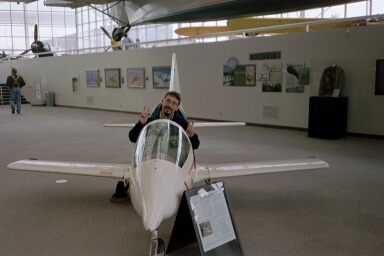
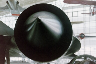
The Museum of Flight, Seattle.
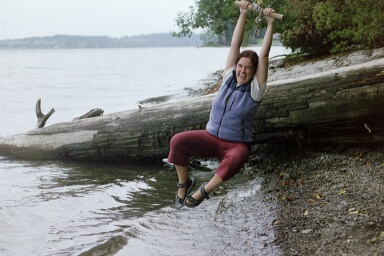
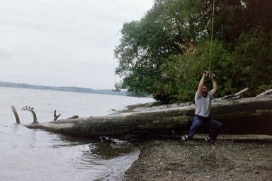
Jane and Mike find a rope swing!
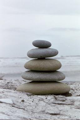
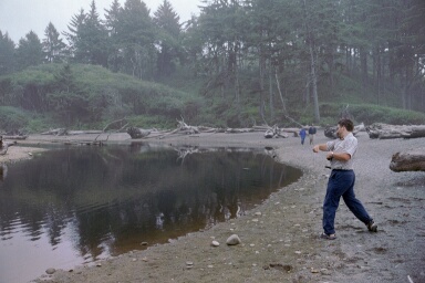
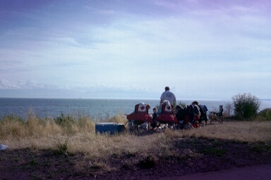
Whilst driving around the Olympic Peninsula, we stopped at a couple of beaches. We entertained ourselves by skimming stones (I've never managed to do that before) and building little mini cairns.
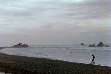
The desolation of a West Coast beach!
Our Camper Van Adventure
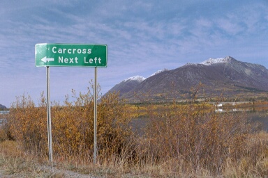
Whitehorse
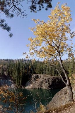
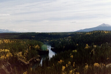
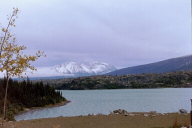
Fantastic autumn colours in the countryside around Whitehorse.
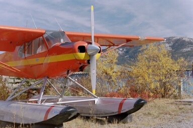
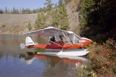
Our never diluted obsession with float planes of any sort - even if they are on dry ground!
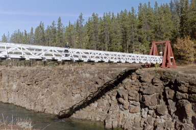
Mike on a suspension bridge.(!)
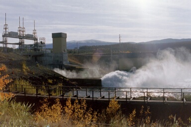
The very impressive dam at Whitehorse. The power of the water was phenomenal.
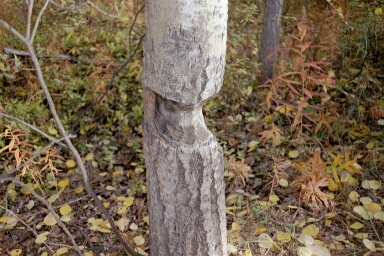
Evidence of beavers gnawing at treetrunks along our walk.
On the Road
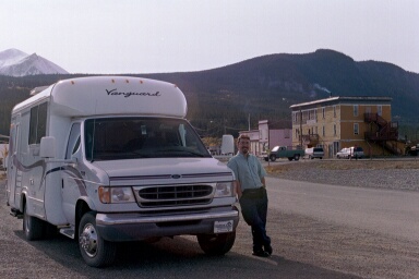
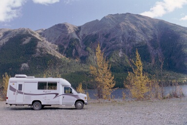
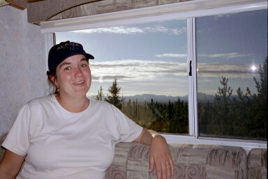
A picture of my baby (and Mike)!
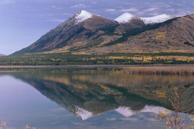
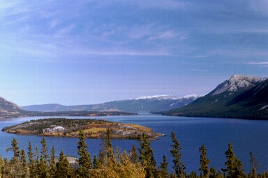
Some spectacular views from the road up to Skagway.
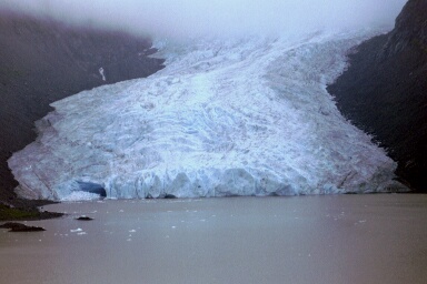
Bear Glacier as viewed from the road to Stewart and Hyder. One local told us that 25 years ago, this glacier reached right across where the road is now. I guess that's global warming for you.
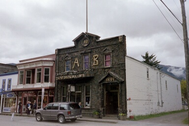
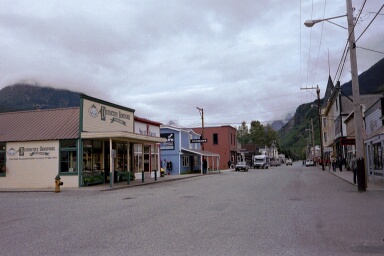
General quaint views of Skagway.
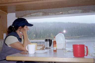
Jane relaxing in the comfort of our temporary home!
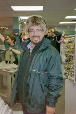
Mike looking incredibly stylish in a beaver skin hat.
Hyder, Alaska
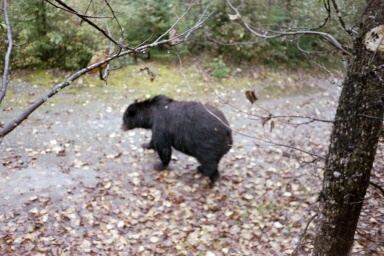
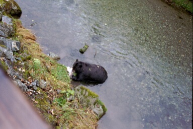
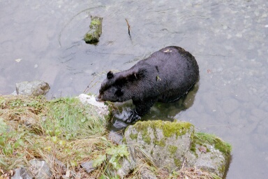
Ozzie the Bear!
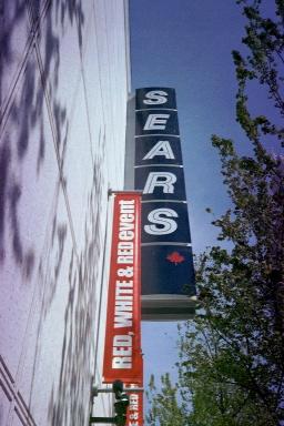
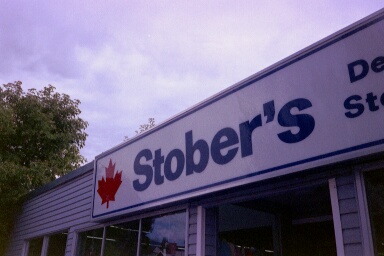
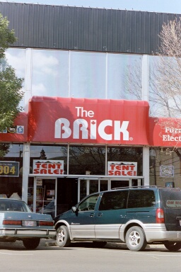
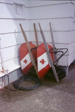
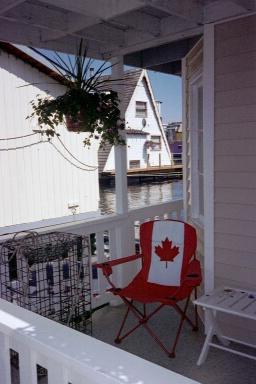
The Canadian Maple Leaf
Whilst travelling around South East Asia, we noticed a certain predisposition of Canadians to proudly display the maple leaf on rucksacks, teeshirts and hats. We had assumed at the time that this was simply to prevent them being confused with Americans, but our time in Canada showed us that this couldn't be the only reason - Canadians are simply very proud of the maple leaf. We've collected some examples of this.Shop Signs
Household Objects
Things which really made me laugh!
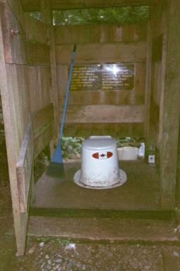
A composting toilet on the West Coast Trail!
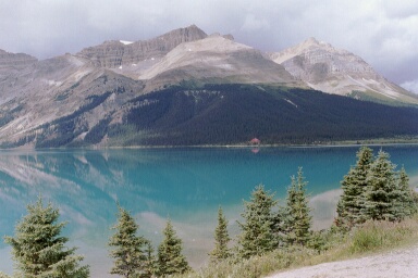
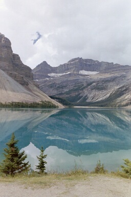
Summer on the Icefields Parkway.